Ben Nevis
Ben Nevis
Ben Nevis rises to 1,345 metres, making it the highest point in the British Isles. Dominating Fort William in the Scottish Highlands, this granite massif offers demanding hiking, moorland scenery and the ruins of a historic observatory at its summit.
Ben Nevis peaks at 1,345 metres, making it the highest point in the British Isles. Situated near Fort William in the Scottish Highlands, this granite massif draws hundreds of thousands of hikers each year. Its summit, often shrouded in cloud, reveals panoramic views across much of Scotland on clear days. The terrain is demanding and the weather unpredictable—the mountain commands respect and serious preparation.
Practical Information at a Glance
- Access: main trailhead from Ben Nevis Visitor Centre at Achintee, reachable from Fort William on foot or by car.
- Entry: free—no access fee required.
- Recommended duration: allow 7 to 9 hours for the round trip via the Mountain Track (formerly Tourist Path).
- Essential gear: waterproof hiking boots, warm clothing and windproof jacket even in summer—temperatures at the summit can approach 0 °C in July.
- Wheelchair accessibility: the main trail is not wheelchair-accessible.
- Dogs: permitted on leash on the trails.
What to See
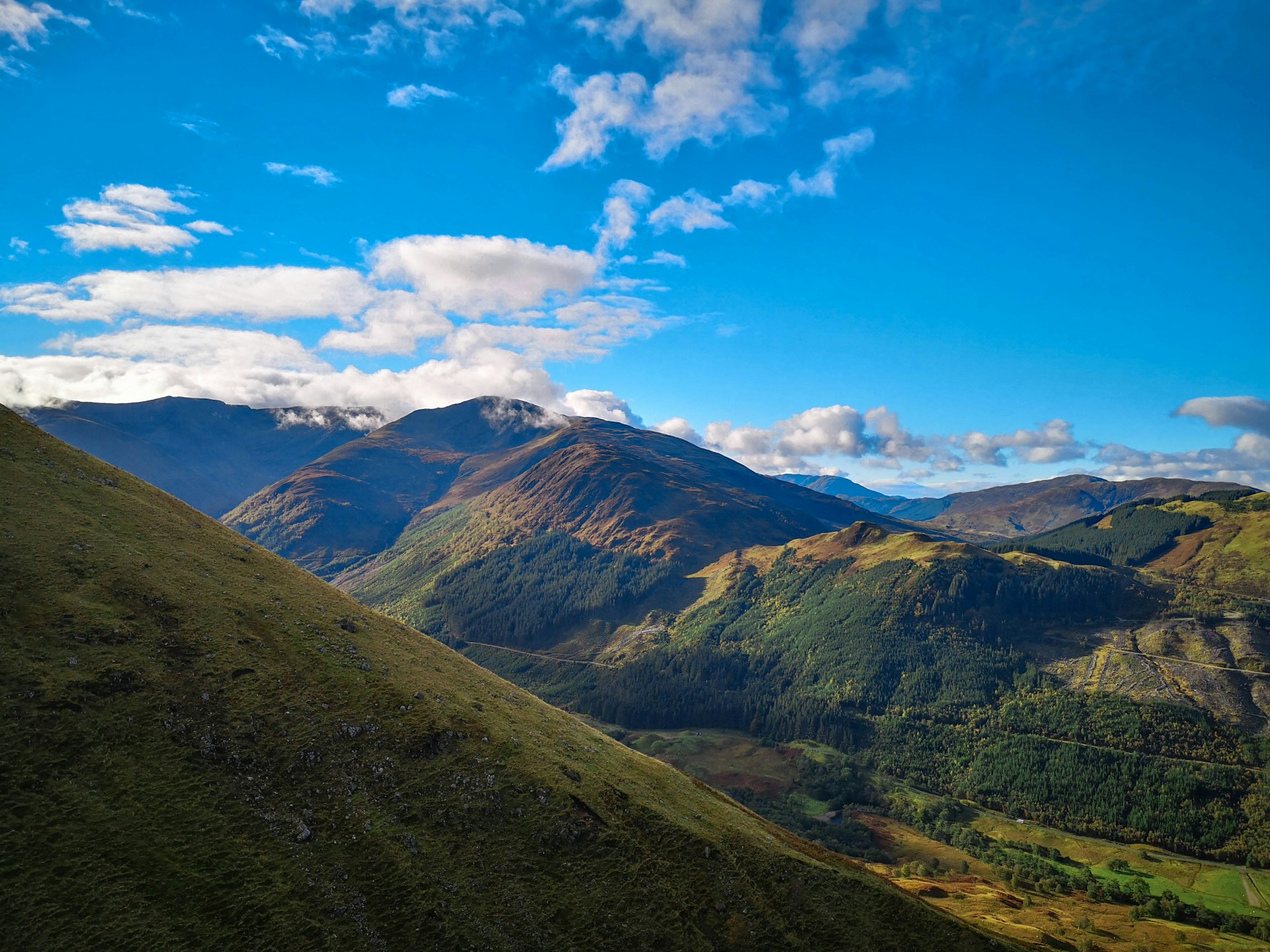
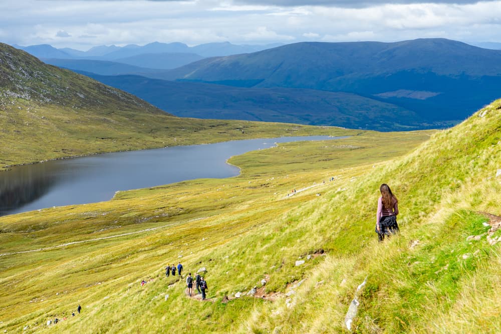
The Mountain Track winds approximately 9 kilometres from the valley to the summit plateau. Along the way, you traverse heather moorland, follow the Allt a' Mhuilinn river and pass rocky terraces. At the summit, the ruins of a former meteorological observatory (operational 1883–1904) mark the highest point. On clear days, the view extends to Atlantic islands in the distance.
History and Context
The Gaelic name Beinn Nibheis is often translated as "venomous mountain" or "mountain in the clouds". The meteorological observatory built at the summit in the late 19th century operated for twenty years, collecting invaluable climate data. The first documented ascent dates to 1771, by botanist James Robertson. Since then, the mountain has become an icon of British mountaineering.
Highlights of Your Visit
The Mountain Track
The most popular route, it remains physically demanding despite lacking technical passages. The elevation gain exceeds 1,300 metres. The trail is well-marked but can become slippery and snow-covered from autumn onward.
The northern ridges—climbing terrain
Ben Nevis's north faces host climbing and ice-climbing routes acclaimed across Europe. Tower Ridge and Castle Ridge attract experienced climbers, particularly in winter. These routes demand alpine equipment and expertise.
The Summit and Its Ruins
The remains of the observatory and its associated shelter constitute rare historical testimony at this altitude. A cairn marks the highest point. On clear days, you can distinguish Ben Macdui, Scotland's second-highest peak, in the distance.
Glen Nevis Valley
Below, Glen Nevis offers a more accessible walk along the Nevis river, featuring gorges, waterfalls and meadows. This is a popular alternative for those preferring not to summit.
Photography Tips
Golden light in late afternoon illuminates the western slopes from the valley below. As you ascend, reflections on surrounding lochs are stunning in the early hours. At the summit, shifting clouds create ever-changing atmospheres—patience pays off. Avoid approaching the edges of the northern cliffs for photos: the terrain is unstable and dangerous.
Location and Access
Fort William lies approximately 2 hours north of Glasgow by road. Fort William railway station is served by trains from Glasgow Queen Street, with onward connections possible from Edinburgh. The Ben Nevis Visitor Centre at Achintee is reachable from Fort William's centre on foot (roughly 30 minutes) or by car, with parking nearby. Seasonal shuttle services sometimes connect the town centre to the trailhead—check local availability.
Nearby Attractions
- Glen Nevis — verdant valley at the foot of Ben Nevis, ideal for family walks along the river.
- Inverlochy Castle — 13th-century medieval fortress on Fort William's outskirts, easily accessible.
- Loch Linnhe — Scottish fjord bordering Fort William, departure point for island cruises.
- Glencoe — dramatic glacial valley some thirty kilometres south, a defining site in Scottish clan history.
- Neptune's Staircase — series of locks on the Caledonian Canal at Banavie, a 19th-century engineering marvel.
Frequently asked questions
May through September offer the best conditions. In winter, the mountain is snow-covered and requires ice axe, crampons and winter mountaineering experience.
Waterproof hiking boots, warm layered clothing, windproof jacket, ample water and food, map and compass. Trekking poles are helpful on rocky terrain.
Yes. Glencoe lies roughly thirty kilometres south of Fort William. Plan two separate days: each site deserves a full day's attention.
The summit is not recommended for young children due to the elevation gain and weather conditions. Glen Nevis below offers family-friendly trails.
Several guiding services based in Fort William offer guided ascents, especially useful for climbing routes or winter conditions.
Yes, without restriction. Keep your distance from the edges of the northern cliffs, particularly hazardous in poor visibility.
Want to discover this destination?
Our local advisors design your tailor-made trip.