Hohneck
Hohneck
The third-highest peak of the Vosges at 1,363 meters, Hohneck dominates the Route des Crêtes between Alsace and Lorraine. Panoramic views over the Alsatian plain, mountain meadows and glacial lakes within hiking distance.
Hohneck rises to 1,363 meters, the third-highest summit of the Vosges. Perched on the border between Haut-Rhin and Moselle, it offers a 360° panorama over the Vosges meadows, the Alsatian plain and, on clear days, the Alps. It is an emblematic crossing point on the Route des Crêtes, accessible on foot, by bike or by car from the Munster and Gérardmer valleys.
Practical information at a glance
- Car access: from Munster (Alsatian side) or Gérardmer (Lorraine side) via the D27 / Route des Crêtes.
- Parking: paid parking at Schlucht Pass (nearby); limited parking at the summit.
- Suggested duration: 1 to 2 hours for the ascent and panorama; a full day for hikers.
- What to wear: hiking boots recommended; strong winds frequent at the summit, bring a warm layer even in summer.
- Accessibility: the summit is accessible by car via the Route des Crêtes; the summit trail remains uneven.
- Winter closure: the Route des Crêtes may be closed in case of snow or ice.
What you'll see
At the summit, the chaumes — these mountain meadows typical of the Vosges — stretch as far as the eye can see. On clear days, the view extends to the Black Forest to the east and the Alps to the southeast. A historic hotel-restaurant has occupied the summit since the 19th century. The slopes harbor peat bogs and glacial lakes visible from the ridge trails.
History and context
Hohneck long marked the border between France and Germany. After 1871, the Vosges ridge becomes the Franco-German border; the Route des Crêtes is traced during the First World War to connect French positions sheltered from enemy views. The summit retains vestiges of this military period in its immediate surroundings.
Highlights of the visit
The 360° panorama
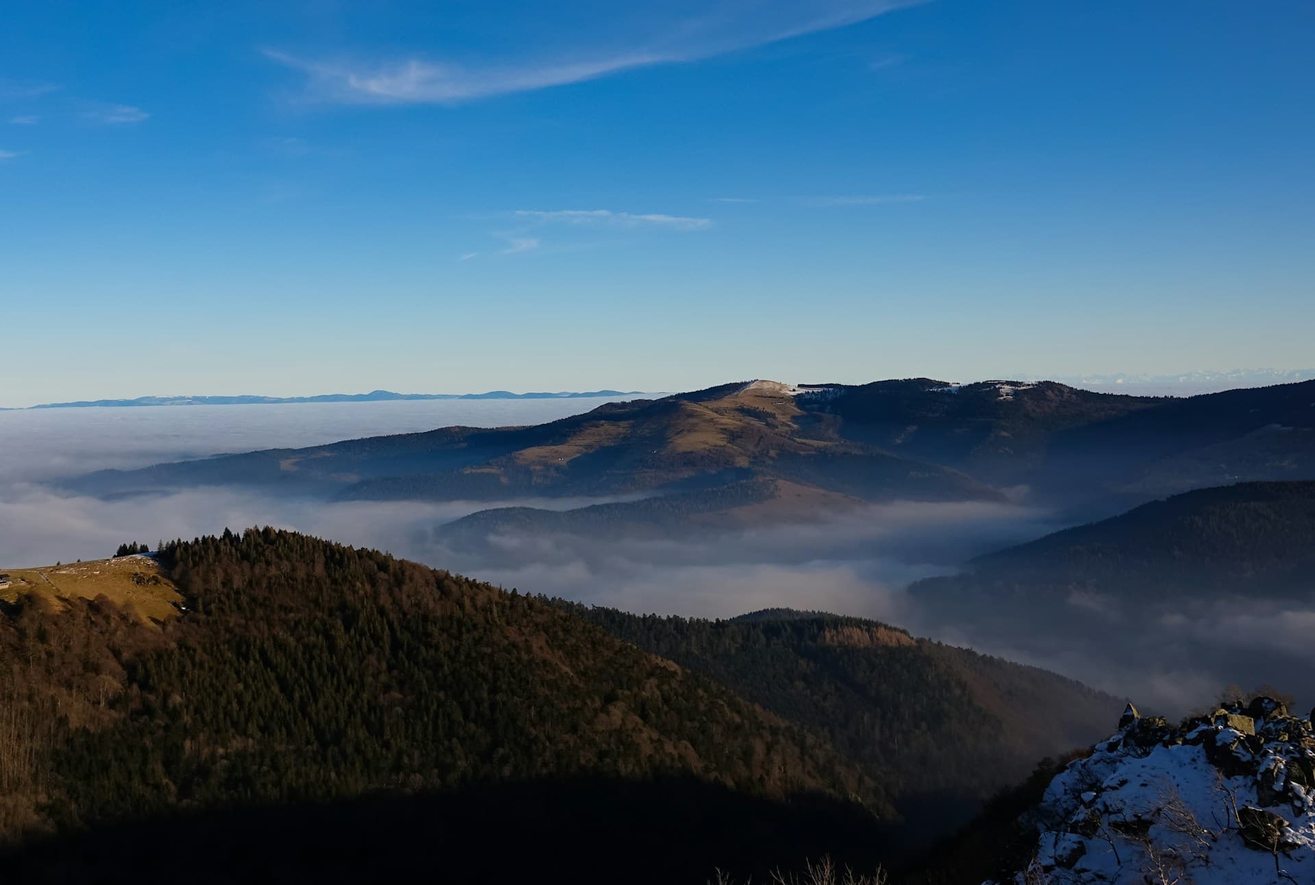
On clear days, the view encompasses the Alsatian plain, the Rhine, the Black Forest and the Alps. Orientation is made easy by a viewpoint table at the summit. Dawn and sunset offer the most spectacular light.
The Route des Crêtes
Hohneck is one of the high points of this road and hiking route that connects Cernay to Sainte-Marie-aux-Mines. Cyclists and hikers use it to string together the summits: Grand Ballon, Markstein, Ballon d'Alsace.
The glacial lakes nearby
Lake Longemer, Lake Retournemer and Lake Gérardmer are located on the Lorraine side. On the Alsatian side, Lake Schiessrothried is accessible on foot from Schlucht Pass in less than an hour.
Alpine fauna and flora
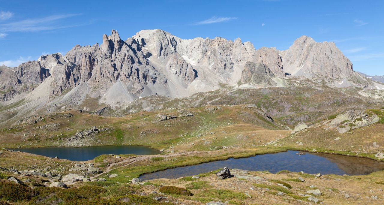
The meadows are home to protected species: mountain arnica, wild bilberries, and sometimes chamois reintroduced to the massif. The Vosges peat bogs, visible from certain trails, constitute a rare ecosystem in France.
Photography tips
Morning light is ideal for photographing the sea of clouds over the Alsatian plain. In autumn, the meadows take on golden hues that are very photogenic. Avoid midday in summer: thermal haze reduces visibility. No known photography restrictions on site.
Location and access
Hohneck is located about 20 km from Munster (Haut-Rhin) and about 25 km from Gérardmer (Vosges). Schlucht Pass, a few kilometers away, is the main road and hiking hub for this area. No regular public transport serves the summit; car or bike remain the main options outside the summer season.
In the area
- Schlucht Pass — starting point for many trails and access to the Haut-Chitelet Alpine Garden.
- Grand Ballon — highest peak of the Vosges (1,424 m), to be explored on the Route des Crêtes.
- Lake Gérardmer — largest natural lake in the Vosges, on the Lorraine side.
- Munster — Alsatian town known for its AOP cheese, gateway to the Fecht valley.
- Markstein — ski resort and viewpoint on the Route des Crêtes, between Hohneck and Grand Ballon.
Frequently asked questions
June to October for hikers: the meadows are in bloom in June-July, autumn colors are remarkable in October. In winter, the summit is snow-covered and the Route des Crêtes may be closed.
Yes. The Route des Crêtes allows you to reach the summit by car. Parking is available in the immediate vicinity of the highest point.
The trail from Schlucht Pass to the Hohneck summit takes about 1 to 1.5 hours depending on your pace, for an elevation gain of about 300 meters.
A hotel-restaurant has been established at the summit since the 19th century. Check opening hours directly with the establishment before your visit, especially outside the season.
Yes, provided you bring warm clothing and appropriate footwear. Car access makes the panorama accessible to all. The trails near the summit are short and manageable with children in reasonable shape.
Yes. The Route des Crêtes connects Hohneck to Grand Ballon and Markstein. A day by car or bike allows you to string together several emblematic viewpoints of the massif.
Discover Hohneck with our itineraries
All our tours →
Want to discover this destination?
Our local advisors design your tailor-made trip.