Cap Corse
A 40 km peninsula at the northern tip of the island, Cap Corse lines Genoese towers, Patrimonio vineyards and hilltop villages above a coastline battered by the libeccio wind.
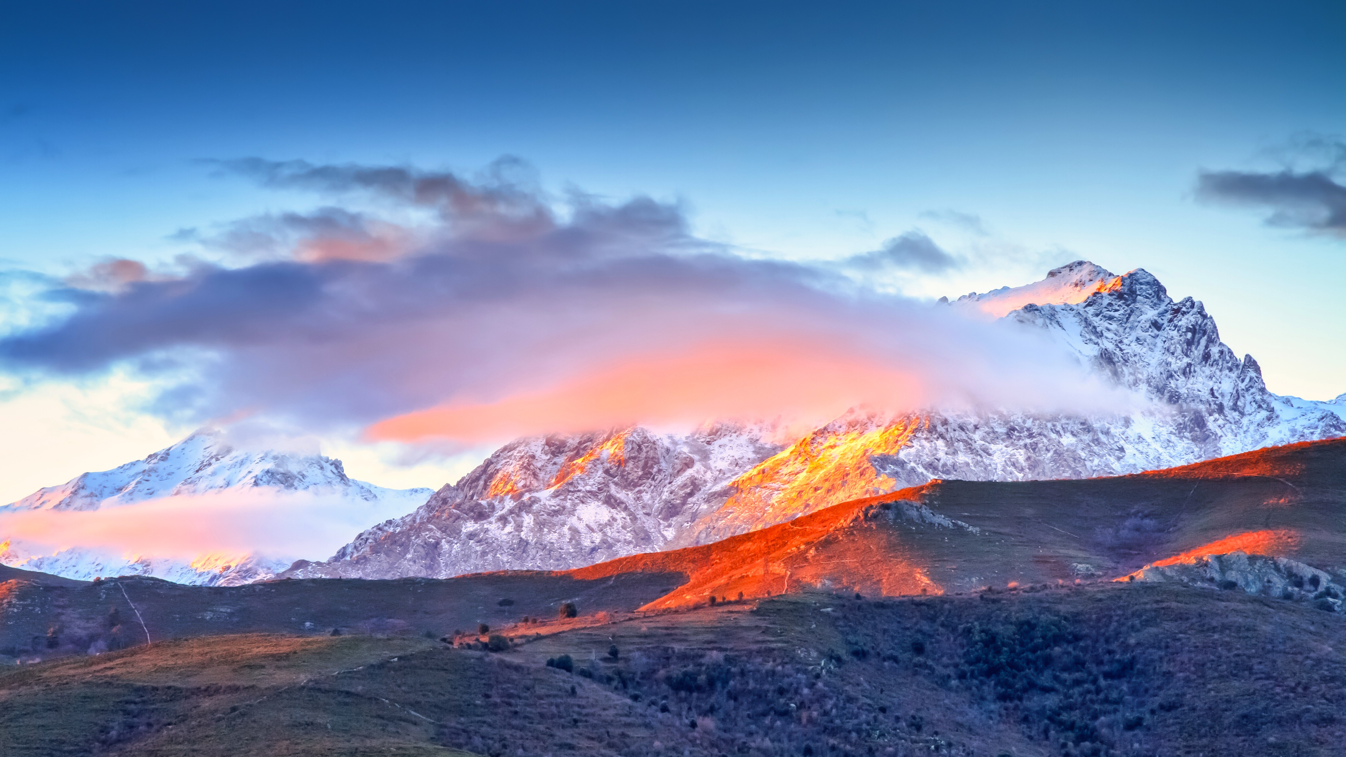
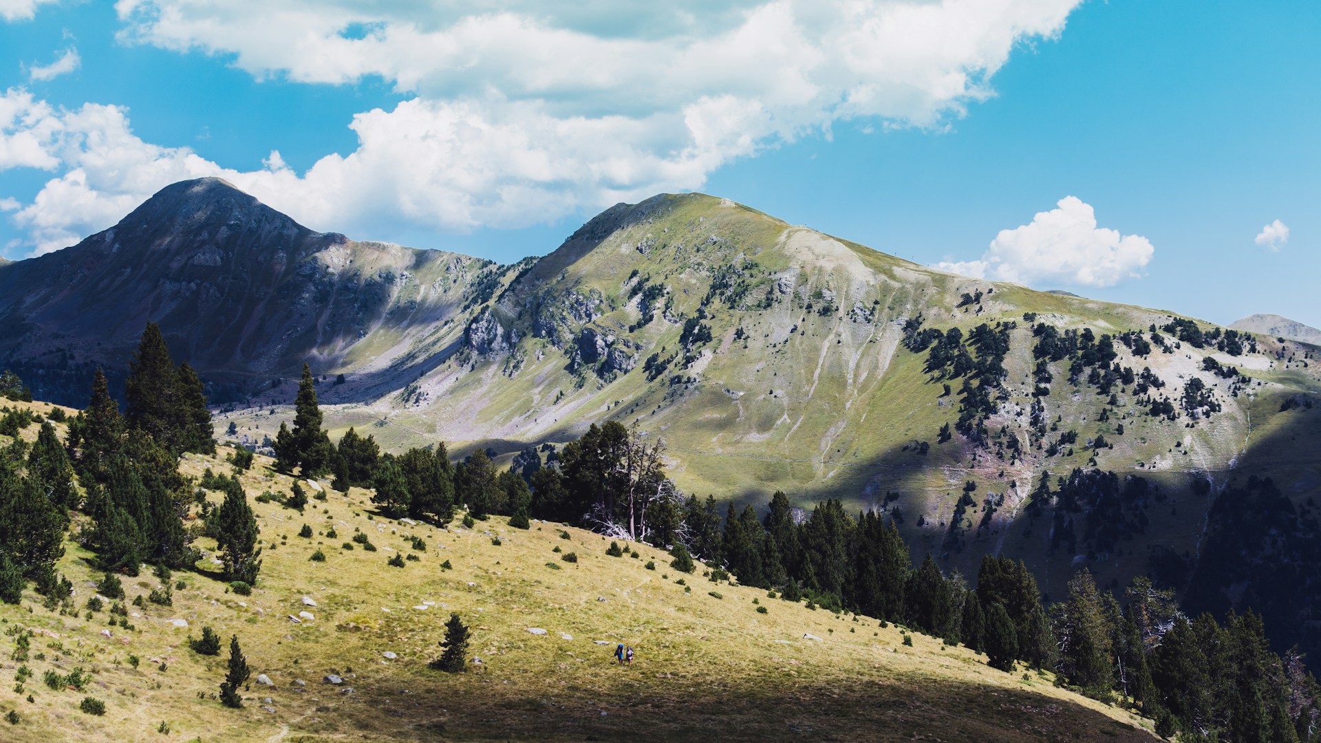
Cap Corse forms a peninsula 40 kilometers long and 15 kilometers wide, jutting from the north of the island like a finger pointed toward Genoa. This distinctive geography—a central ridge peaking at 1,307 meters at Monte Stello before plunging directly into the sea—shapes everything: an eastern slope gentler and facing Bastia, a wilder western face swept by the libeccio, and some twenty villages perched or coastal, linked by the D80, a winding corniche road of 110 kilometers circling it entirely.
Our team in Bastia always presents Cap Corse as a Corsica unto itself. Historically oriented toward maritime trade with Italy and the Americas, it carries traces of this openness in its architecture: American houses built in the 19th century by emigrants who returned wealthy to Rogliano, Morsiglia or Sisco, Genoese palaces in Erbalunga, and thirty-two watchtowers dating from the 16th century that once signaled Barbary raids. Centuri, on the western point, remains France's premier langoustier—spiny lobster—port, with a fleet of some twenty small boats returning to the quay between 4 and 6 p.m.
The agricultural landscape is dominated by vineyards. The Patrimonio appellation, Corsica's first AOC created in 1968, spans nine communes south of Cap, on rare limestone soils at island scale. The niellucciu grape for reds, vermentinu for whites, and some thirty estates open for tastings, several around the village of Patrimonio itself. Further north, on the eastern coast, Cap Corse muscat vines grow in terraces above Rogliano and Macinaggio. The muscat here sells in 50 cl bottles, often directly from the estate.
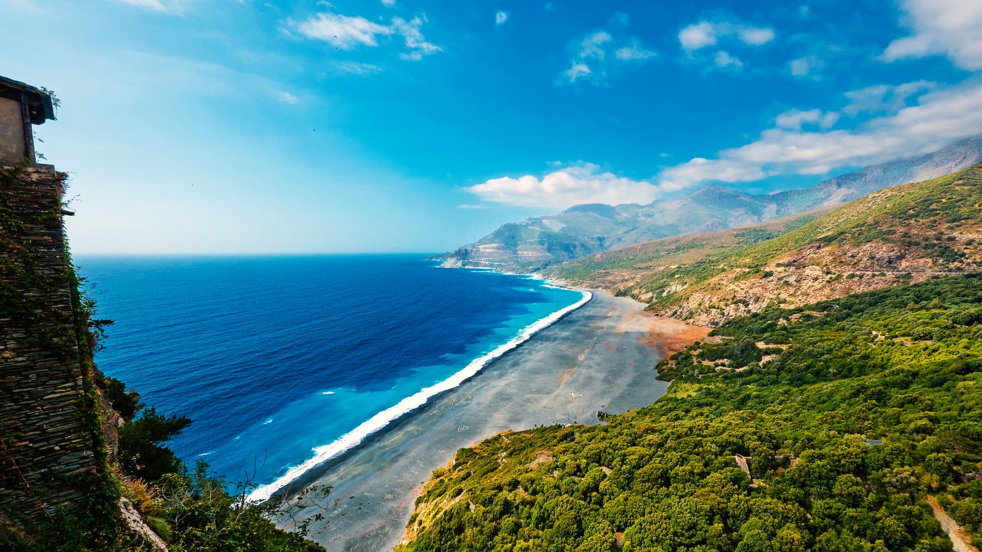
The coasts alternate between two registers. To the east, coves of dark pebbles and a few beaches like Pietracorbara or Marine de Sisco, sheltered from dominant winds. To the west, steeper cliffs and the famous Nonza beach, a kilometer long, whose black pebbles come from residue of the former asbestos mine in Canari, worked until 1965. The northern tip, around the customs officers' trail between Macinaggio and Centuri, offers 19 kilometers of coastline protected by the Conservatoire, accessible only on foot in 7 to 8 hours of hiking, or by shuttle boat from Macinaggio harbor between June and September.
For dining, Cap Corse has its specialties. Brocciu fritters and aziminu, a rockfish soup served with rouille, are still found in a few harbor restaurants. Figatellu, a grilled pork liver sausage, often accompanies tastings at wine estates between November and March, pulenda season. The chestnut groves inland around Pino and Luri still supply flour for traditional polenta, though production remains modest compared to Castagniccia.
A sparsely populated region of some 6,500 residents across all Cap communes, it preserves diffuse tourism. No large beach resort, no massive pleasure marina. Macinaggio, with its 600 moorings, remains the largest. This restraint explains why we often include it at the beginning or end of an itinerary: it's a measured transition between arrival in Bastia and the rest of the island.
To Discover
Customs officers' trail toward Barcaggio. A 4 to 8-hour hike from Macinaggio along a protected coastline, passing through the 12th-century chapel of Santa Maria and Tamarone beach, frequented by grazing cattle.
Patrimonio estates. Tastings with AOC winemakers on the limestone slopes of Teghime pass, with niellucciu as red and Cap Corse muscat as naturally sweet wine served as an aperitif.
Centuri harbor. Some twenty pointus return in late afternoon with the day's catch, live spiny lobsters sold on the quay and served in the four harbor restaurants.
Black pebble beach of Nonza. A kilometer of dark slate pebbles at the foot of a 100-meter cliff, accessed by 160 steps from the village and its blood-red Paoli tower.
Mattei Mill at Serra pass. A restored former mill at 360 meters altitude, 360-degree views over both slopes of Cap and, on clear days, the coast of Elba island 50 kilometers to the north.
When to Visit
We recommend the April to October window, with two comfort peaks in May-June and September-early October. Average temperatures in May range between 14 and 22 degrees Celsius, ideal for the customs officers' trail hike which offers no shade. July and August frequently exceed 30 degrees on the coast, with the sea at 24-25 degrees Celsius, but afternoon thermal wind makes conditions bearable. The libeccio, dominant westerly wind, blows over 60 km/h some thirty days a year, especially between November and March.
Winter is not harsh but windy and humid: 70 to 90 mm of rain per month between November and February, with many wine estates and restaurants closed from mid-October to Easter. The grape harvest, around late August for vermentinu and mid-September for niellucciu, is a good time to visit active cellars. Avoid the August 15 holiday weekend, when the coastal D80 road becomes congested at narrow passages between Nonza and Pino.
Practical Advice
We recommend a minimum of two full days to complete the coastal road loop by car, with an overnight stay in Centuri, Macinaggio or Erbalunga. Three to four days allow you to add a hike on the customs officers' trail, two or three tastings in Patrimonio, and a climb to Monte Stello (1,307 m, 6 to 7 hours round trip from Pozzo). The obvious entry point: Bastia-Poretta airport, 20 minutes from the start of Cap, where we arrange pickups and car rental, essential for this region.
Cap Corse naturally combines with Balagne (1.5 hours' drive via Saint-Florent and the Agriates desert) or with the Eastern Coast and Castagniccia to head south. Accommodation is mainly in character guesthouses and small family hotels of 8 to 15 rooms, few large-capacity facilities. A region suited to contemplatives, wine enthusiasts, coastal hikers and families with children from age 8 upward. Less recommended for those seeking nightlife, beach clubs or water parks.