Massif des Écrins
Massif des Écrins
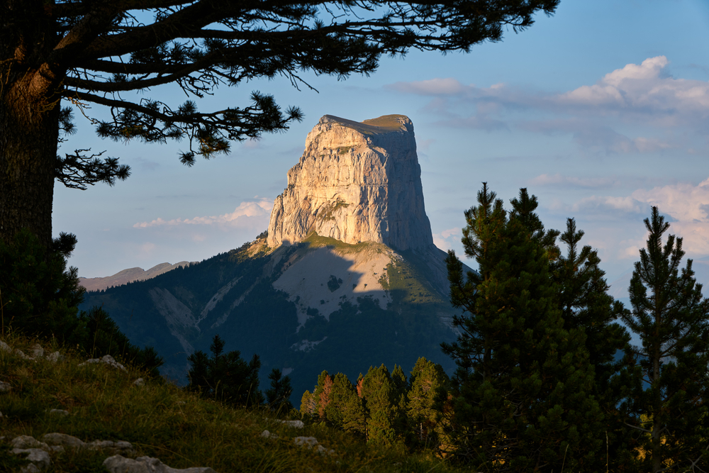
The Massif des Écrins, the southern Alps' highest point at 4,102 m, harbors glaciers, turquoise lakes and high-mountain villages at the heart of Écrins National Park.
The Massif des Écrins lies at the heart of the southern Alps, straddling the departments of Isère and Hautes-Alpes. With the Barre des Écrins peaking at 4,102 m, it is the southernmost point in the Alps to exceed 4,000 m. Écrins National Park, established in 1973, protects glaciers, alpine lakes, larch forests and high-mountain villages across more than 900 km² of core zone.
Practical information at a glance
- Access: from Grenoble via the N85 towards Bourg-d'Oisans (north face) or from Gap via Briançon (south face).
- Entry: the national park is freely accessible; certain mountain huts and guided activities are fee-based.
- Hiking season: mid-June to mid-October depending on altitude and snowfall.
- Recommended duration: 3 days minimum to explore several valleys; one week for a complete circuit.
- Park rules: wild camping prohibited in core zone except bivouacking more than one hour from roads and huts; foraging and hunting forbidden.
- Accessibility for visitors with disabilities: limited at altitude; a few adapted trails in valley floors (Vallouise, Champoléon).
What to see
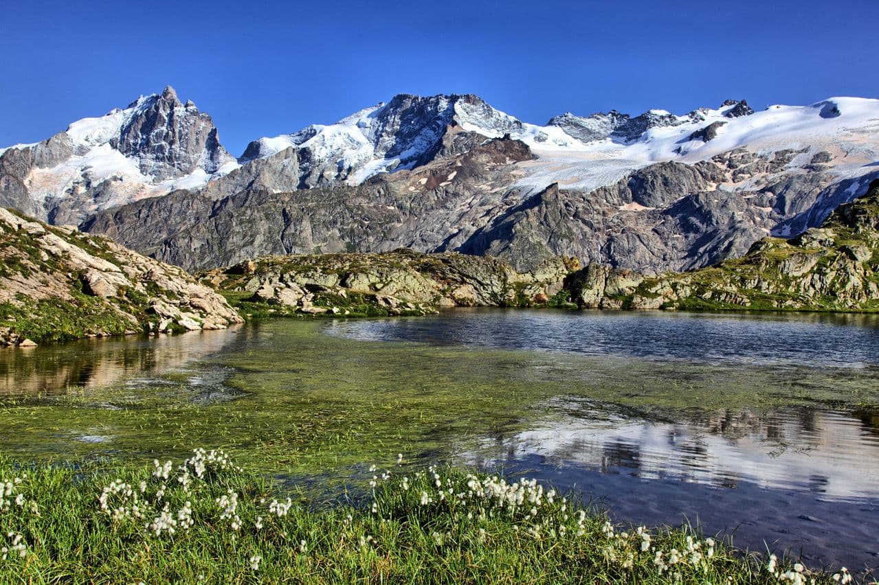
The massif unfolds an exceptional diversity of landscapes. Glaciers — including Blanc Glacier, one of the most accessible in the French Alps — stand beside turquoise alpine lakes. The enclosed valleys (Vénéon, Vallouise, Champsaur) harbor stone villages and baroque chapels. Wildlife includes ibex, chamois, marmots and bearded vultures, successfully reintroduced.
History and context
The Écrins were explored from the 19th century onwards by British alpinists and local guides. The Barre des Écrins was first summited in 1864 by Edward Whymper and his guides. The national park, one of France's ten national parks, was designed to balance strict protection in the core zone with sustainable development in the peripheral zone, where local communities live.
Highlights of your visit
Blanc Glacier and Écrins hut
From Ailefroide or Pré de Madame Carle, a marked trail leads to Blanc Glacier in approximately three hours. Écrins hut, perched at 3,170 m, offers a direct view of the north face of the Barre des Écrins. It is one of the most accessible glaciated hikes in the Alps without mountaineering equipment up to the glacier's snout.
Vénéon valley and Saint-Christophe-en-Oisans
This wild valley, accessible from Bourg-d'Oisans, concentrates high-mountain itineraries and unspoiled villages. Saint-Christophe-en-Oisans is home to a guides' cemetery, a poignant testament to the region's alpinism heritage.
Eychauda lake and Vallouise valley
From Ailefroide, the trail to Eychauda lake crosses flower-dotted alpine pastures in summer. The Vallouise valley, the park's southern gateway, is renowned for its orchards and schist villages.
Champsaur and Noyer Pass
South of the massif, Champsaur presents a more pastoral character. Noyer Pass connects this valley to the Drac valley and gives access to less-frequented itineraries, ideal for observing wildlife.
Photography tips
The raking morning light on the north faces of peaks is optimal between June and August. Lauvitel lake, accessible from Bourg-d'Arud, reflects surrounding ridges in late afternoon. The flowered alpine pastures of Vallouise reach peak color in July. Avoid midday hours in summer: thermal haze veils the summits.
Location and access
The Massif des Écrins extends between Bourg-d'Oisans to the north, Briançon to the east and Gap to the south. Several valleys serve as entry points:
- North face: Bourg-d'Oisans → Vénéon valley or Romanche valley.
- East face: Briançon → Vallouise → Ailefroide.
- South face: Gap → Champsaur or Embrunais.
By public transport, coach lines connect Grenoble to Bourg-d'Oisans and Gap to Briançon. Access to interior valleys remains difficult without a car. English-speaking mountain guides offer guided outings from the main valleys.
Nearby attractions
- Bourg-d'Oisans — gateway town at the foot of the massif, departure point for Alpe d'Huez and Vénéon valley.
- Briançon — fortified city by Vauban, UNESCO World Heritage listed, east of the massif.
- Alpe d'Huez — ski and hiking resort overlooking the Romanche valley.
- Mercantour National Park — another major Alpine park in the southeast, several hours to the south.
- Gap — prefecture of Hautes-Alpes, logistics base for the massif's south face.
Frequently asked questions
Mid-June to mid-September for high-altitude hiking. July and August offer flowered pastures and accessible glaciers. In September, crowds decrease and autumn colors begin on the larches.
Up to the glacier's snout, sturdy hiking boots suffice. To progress onto the ice, crampons and ice axe are necessary — a guided outing with a mountain guide is recommended.
No, in the national park's core zone. Bivouacking is tolerated more than one hour's walk from roads and huts, only after dark and departing before 9 a.m. Check with the park information centers before you leave.
Yes. Briançon and its Vauban fortifications can be visited in half a day from Vallouise. Alpe d'Huez is accessible from Bourg-d'Oisans. Queyras Regional Park borders the massif to the east.
Several valley-floor trails suit families: the Lauvitel lake circuit, trails around Ailefroide or walks in Champsaur. The park information centers offer itinerary sheets graded by difficulty.
A network of staffed mountain huts (Écrins hut, Blanc Glacier hut, Pilatte hut, among others) enables multi-day treks. Booking in advance is essential in July-August.
Discover Massif des Écrins with our itineraries
All our tours →
Want to discover this destination?
Our local advisors design your tailor-made trip.