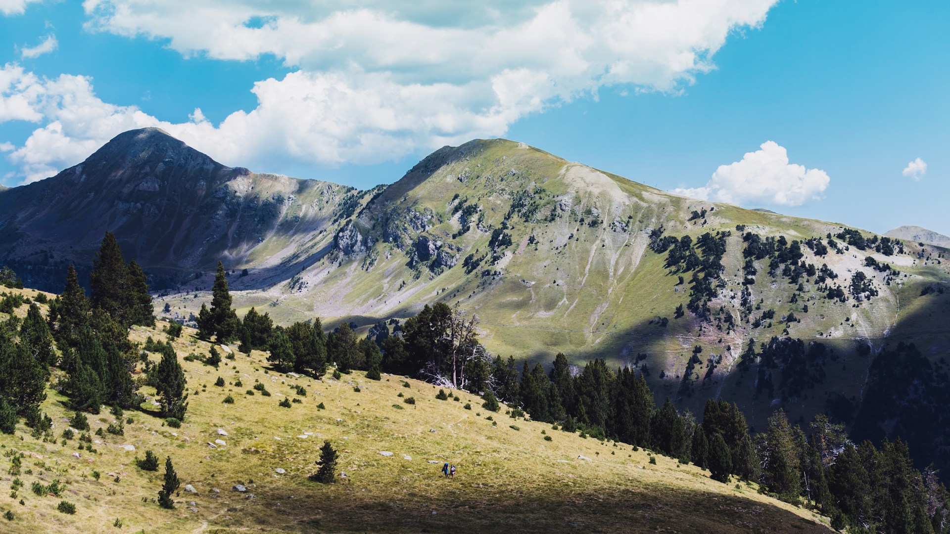
Pic Blanc du Galibier
A summit accessible on foot from Col du Galibier, Pic Blanc offers sweeping alpine views over the Écrins and Vanoise massifs. A 1.5 to 2-hour hike, open from July to mid-September.
Pic Blanc du Galibier is a secondary summit in the Cerces massif within the French Alps, situated in immediate proximity to Col du Galibier. At over 3,000 metres elevation, it commands an expansive panorama across surrounding ranges — the Écrins, Vanoise, and Mont-Blanc on clear days. Accessible on foot from the pass, it draws hikers and high mountain enthusiasts between July and September.
Quick Facts
- Access: from Col du Galibier (D902), reachable by car or bike via mountain pass roads from Valloire (north side) or Lautaret (south side)
- Recommended season: July to mid-September (snow possible outside this window)
- Suggested duration: allow 1.5 to 2 hours round trip from the pass
- Equipment: hiking boots mandatory, warm clothing even in summer, sufficient water
- Wheelchair accessibility: not accessible
What You'll See
From the summit, the view unfolds in a complete 360° panorama: the Écrins massif to the south, Vanoise to the northeast, and on clear days the Aiguilles de Chamonix. In the foreground, Col du Galibier with its winding road hairpins, frequented by Tour de France cyclists. Rocky ridges and persistent snowfields compose a stark high-mountain landscape.
History and Context
Col du Galibier, immediately nearby, has been one of the Tour de France's legendary passes since 1911. Pic Blanc represents the highest point accessible on foot in this sector without alpine climbing equipment. The Cerces massif, of which it forms part, is integrated into the Écrins National Park boundary on the south side and borders the Vanoise National Park on the north.
Highlights of Your Visit
The Climb from the Pass
The trail departs directly from Col du Galibier. Progress over rocky and sometimes snow-covered terrain demands careful footing. Your effort is rewarded by expansive views within the first metres of elevation gain.
The Summit Panorama
On clear days, the horizon encompasses several major Alpine ranges. The vertiginous view down onto Galibier's winding road is particularly striking during summer, when cyclists pass in succession.
Alpine Wildlife
Ibex and marmots are regularly observed on the rocky slopes. Raptors — notably golden eagles — frequently patrol these heights.
Photography Tips
Morning light is ideal: surrounding peaks remain clear before convection clouds form in early afternoon. Angle south to frame the Écrins, north for the Vanoise. A wide-angle lens best captures the expansive panorama.
Location and Access
Pic Blanc du Galibier is reached from Col du Galibier, accessible via D902 from Valloire to the north or from Col du Lautaret to the south. The pass road closes in winter. No regular public transport serves the pass in season; car or bike remain the only practical access methods.
Nearby Attractions
- Col du Galibier — legendary Tour de France pass and trailhead for the Pic Blanc hike.
- Col du Lautaret — neighbouring pass with alpine garden and views of La Meije, a few kilometres south.
- Valloire — Savoyard village at the foot of Galibier on the north side, departure point and lodging base.
- Écrins Massif — national park visible from the summit, with numerous high-mountain routes.
Frequently asked questions
July to mid-September, when the pass road is open and snow cover is minimal. Outside this window, significant snowfields can make the climb dangerous without crampons.
High-ankle hiking boots are essential on rocky terrain. Bring warm, windproof clothing: temperatures at the summit are considerably lower than in the valleys, even at the height of summer.
Yes. Col du Lautaret lies a few kilometres south via D902. It hosts a botanical alpine garden and offers a direct view of La Meije — a natural combination within a single day.
It is reserved for hikers comfortable with rocky terrain and accustomed to altitude. The elevation gain from the pass remains moderate, but the summit exceeds 3,000 m: those sensitive to mountain sickness should account for this.
No photographic restrictions exist at this natural site. Drones are subject to current French regulations in nearby national parks — check before launching any aircraft.
Want to discover this destination?
Our local advisors design your tailor-made trip.