Clarée Valley
Clarée Valley
An Alpine valley in the Hautes-Alpes untouched by ski development, the Clarée offers meadows, larch forests, historic hamlets and a river with crystalline waters between Briançon and the Italian border.
The Clarée is an Alpine valley in the Hautes-Alpes, carved by the river of the same name between Briançon and the Italian border. Free from ski resort development, it offers a landscape of meadows, larch forests and ancient hamlets that remain virtually unchanged. Its designation as a Natura 2000 site protects remarkable fauna and flora. It is one of the rare valleys in the Southern Alps to have escaped mass tourism development.
Quick reference guide
- Access: from Briançon, regional road D994G towards Val-des-Prés then Névache — approximately 20 km.
- Winter access: the road closes to traffic beyond Névache-village in winter; access by cross-country skiing or snowshoes.
- Admission: free (public natural area).
- Recommended duration: a full day for hiking; several days to explore the entire valley.
- What to wear: hiking boots essential, warm clothing even in summer (high altitude).
- Accessibility for people with reduced mobility: the valley floor is partially accessible by car to Névache; hiking trails are not adapted for wheelchair access.
What to see
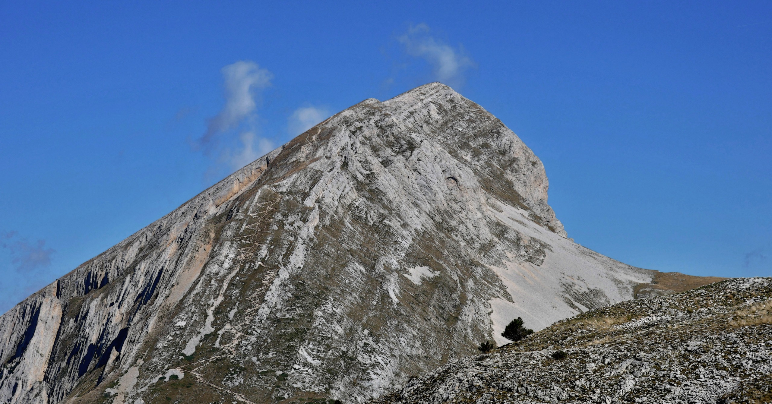
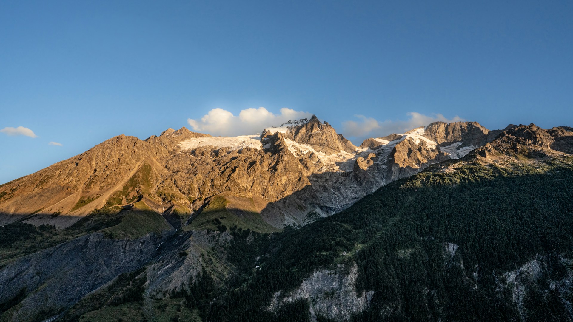
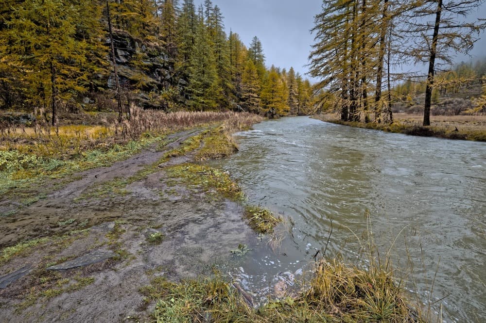
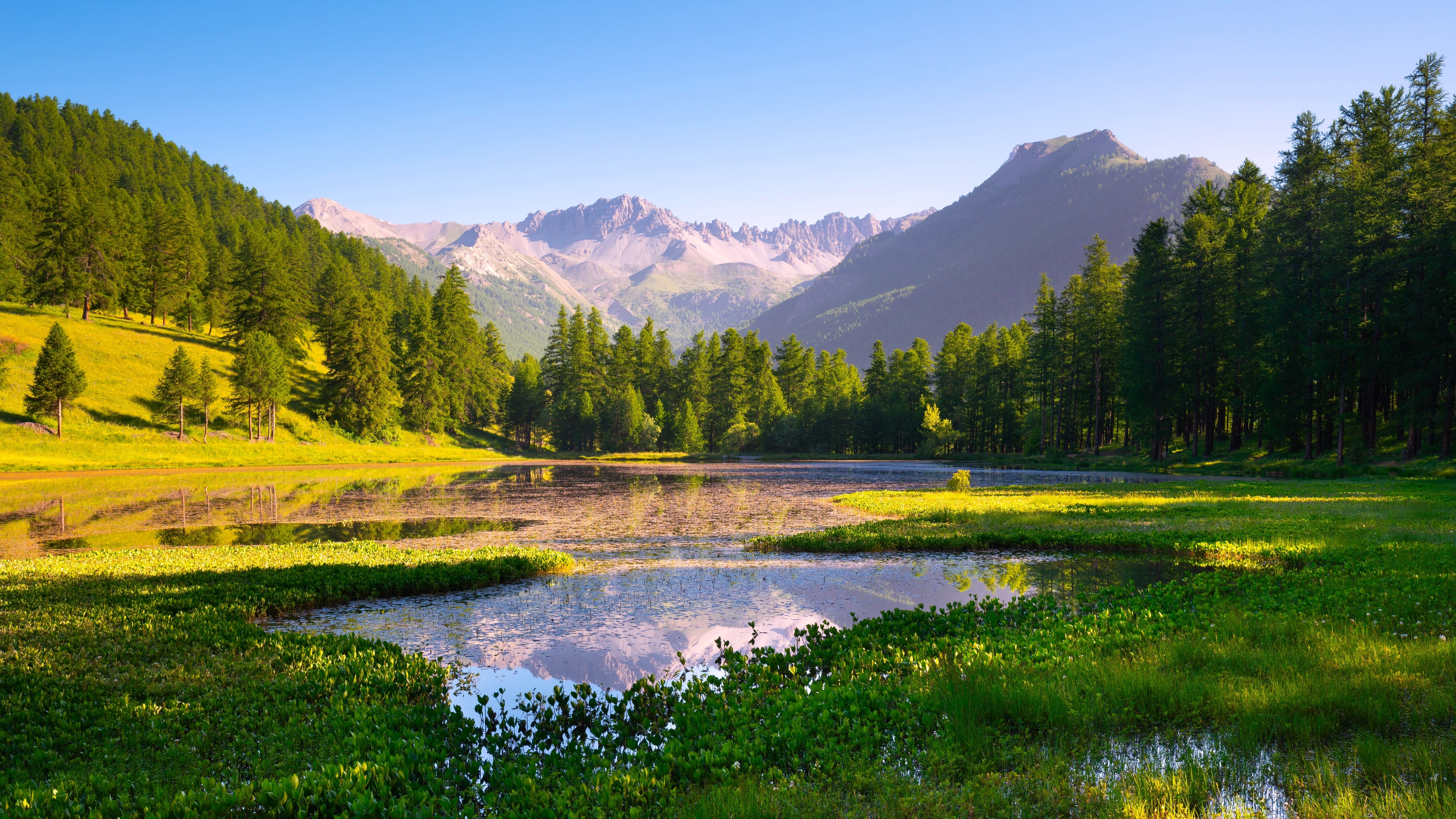
The valley stretches for about twenty kilometers between Val-des-Prés and the hamlet of les Acles. Golden larch forests in autumn, flower-filled alpine meadows in June-July and snow-capped peaks create a changing backdrop depending on the season. The Clarée River, with its clear, rapid waters, runs alongside the road for nearly the entire route. The hamlets of Névache, Plampinet and les Acles preserve their stone houses and baroque chapels.
History and context
The valley was long inhabited by agro-pastoral communities living off livestock and forestry. Its relative isolation protected it from major development in the twentieth century. Several ski resort projects were rejected, notably in the 1970s-1980s, under pressure from residents and conservation associations. This collective refusal explains the site's exceptional state of preservation today.
Key highlights of the visit
The hamlet of Névache and its baroque chapels
Névache-village is home to the Church of Saint-Marcellin, a 17th-century baroque building typical of the religious art of Briançon. The interior frescoes and bulbous bell tower merit a stop. Several small chapels dot the road beyond towards les Acles.
The lakes of the upper valley
Beyond les Acles, trails lead up to the Lakes of Laramon and other high-altitude pools. These intermediate-level hikes offer clear views of the Franco-Italian border ridges and allow you to observe ibex and marmots.
Cross-country skiing and snowshoeing in winter
In winter, the valley transforms into a Nordic skiing area. Marked cross-country ski trails depart from Névache. The atmosphere is radically different from summer: silence, low-angle light on the snow, stripped larch forests.
Swimming in the Clarée
In summer, several natural pools along the river are popular for swimming. The water remains cold even in July-August, given the altitude and feeding from snowmelt.
Photography tips
The golden light of late afternoon on the larch forests is particularly beautiful in October when the needles turn yellow. In summer, early morning avoids heat haze and crowds on the trails. Reflections of the Clarée photograph well from the small wooden bridges that span the river. There are no particular photography restrictions in this natural area.
Location and access
The Clarée Valley is located in the Hautes-Alpes (05), east of Briançon. From Briançon, allow about 30 minutes by car to reach Névache. The nearest railway station is Briançon, the terminus of the line from Gap. There are no regular public transport connections to the upper valley; a personal vehicle or summer shuttle (depending on the year) is necessary.
Nearby attractions
- Briançon — Vauban fortified city listed as a UNESCO World Heritage site, about thirty kilometers away.
- Fort des Salettes — Vauban military fortification overlooking Briançon, accessible on foot from the upper town.
- Montgenèvre Pass — Franco-Italian border pass less than 15 km from Briançon, with a ski resort and panoramic views over the Alps.
- Écrins National Park — protected Alpine massif accessible from Briançon, with high mountain trails.
Photos
Interested in this visit?
We can include it in your personalised itinerary.