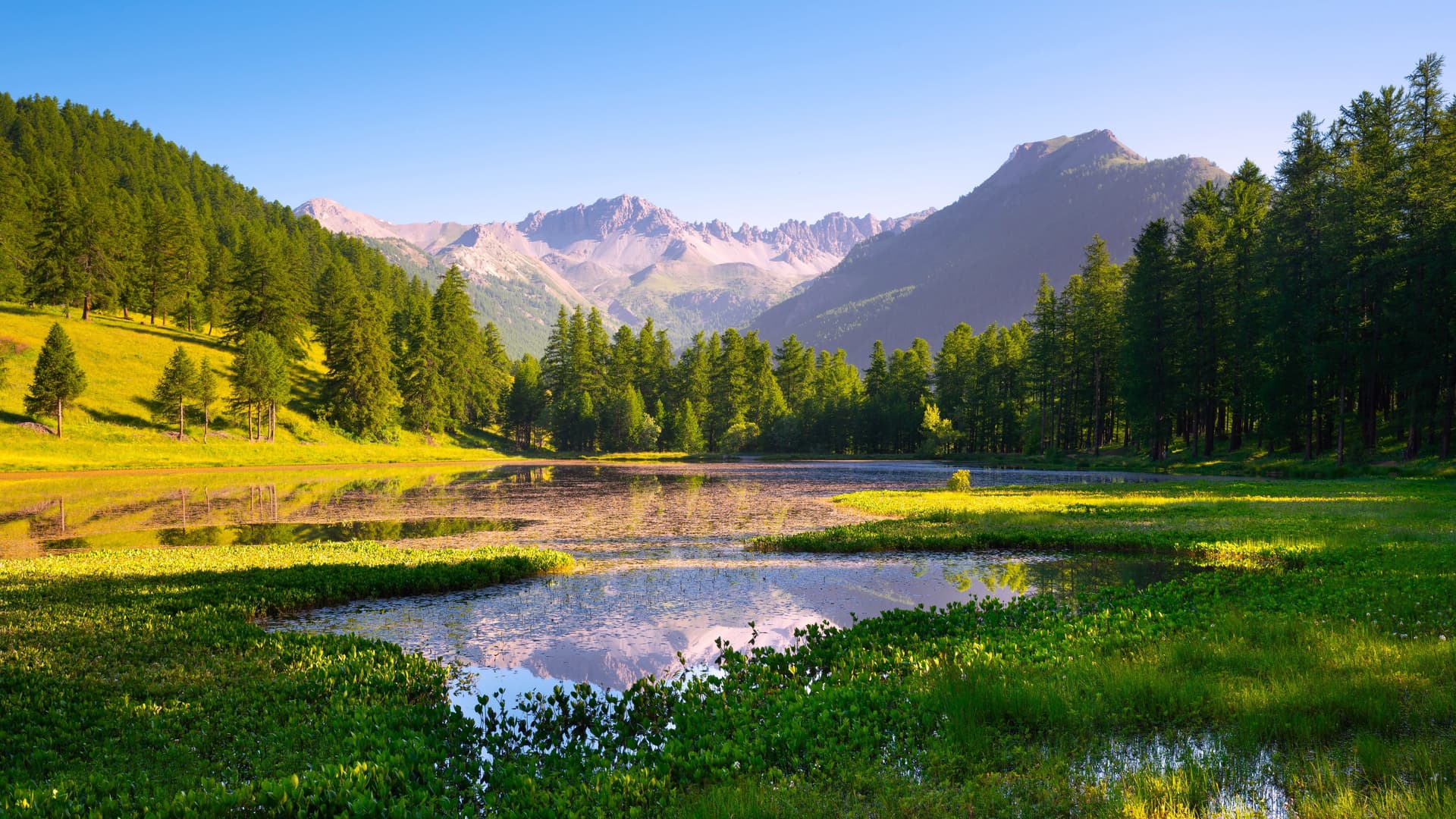
Queyras
An Alpine massif in the Hautes-Alpes classified as a regional natural park, Queyras brings together historic timber villages, peaks over 3,000 m, and an exceptional night sky, just steps from the Italian border.
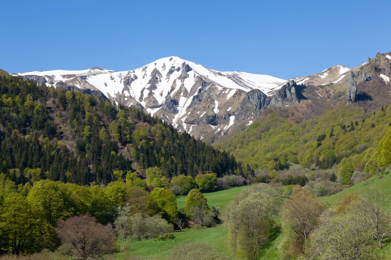
Queyras is an Alpine massif in the Hautes-Alpes, set against the Italian border and entirely classified as a regional natural park. Its steep-sided valleys, perched villages of dark timber, and peaks exceeding 3,000 m make it one of the most pristine territories in the French Alps. Historical isolation has shaped a distinctive architecture, craftsmanship, and pastoral traditions still thriving today. Summer or winter, Queyras draws hikers, cross-country skiers, and stargazers — the area is recognized for its exceptional lack of light pollution.
Quick Facts at a Glance
- Main access: from Briançon via D902 (Izoard Pass) or from Guillestre via D902 (Guil Gorges) — roads closed or challenging in winter depending on snow cover.
- Entry: free access to the territory; certain sites (mountain huts, local museums) require fees.
- Recommended duration: minimum 3 days to explore multiple valleys; one week for a complete hiking retreat.
- Peak season: July–August for hiking; December–March for cross-country skiing and snowshoeing.
- Gear: hiking boots essential in the mountains; warm clothing even in summer above 2,500 m.
What You'll See
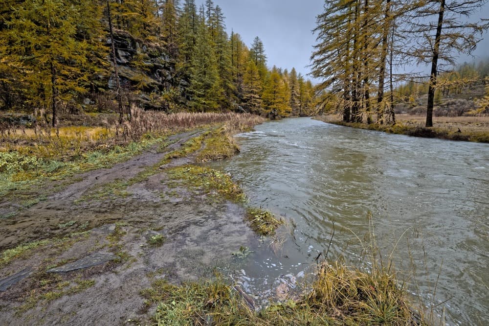
The Queyras regional natural park covers approximately 60,000 hectares. The landscape alternates between larch forests, wildflower meadows, glacial torrents, and mineral ridges. The village of Saint-Véran, at over 2,000 m elevation, is one of Europe's highest permanently inhabited villages. Château-Queyras, a feudal stronghold dominating the confluence of the Guil and Aigue Blanche rivers, visually anchors the entire main valley.
History and Context
Queyras long formed an autonomous republic — the "Republic of the Escartons" — granted tax privileges by Dauphin Humbert II in 1343. This autonomy forged a strong sense of collective organization and distinctive vernacular architecture: timber houses with galleries, painted sundials, hamlet chapels. Winter isolation also fostered woodcraft traditions (marquetry, furniture-making) still practiced today.
Highlights of Your Visit
Saint-Véran
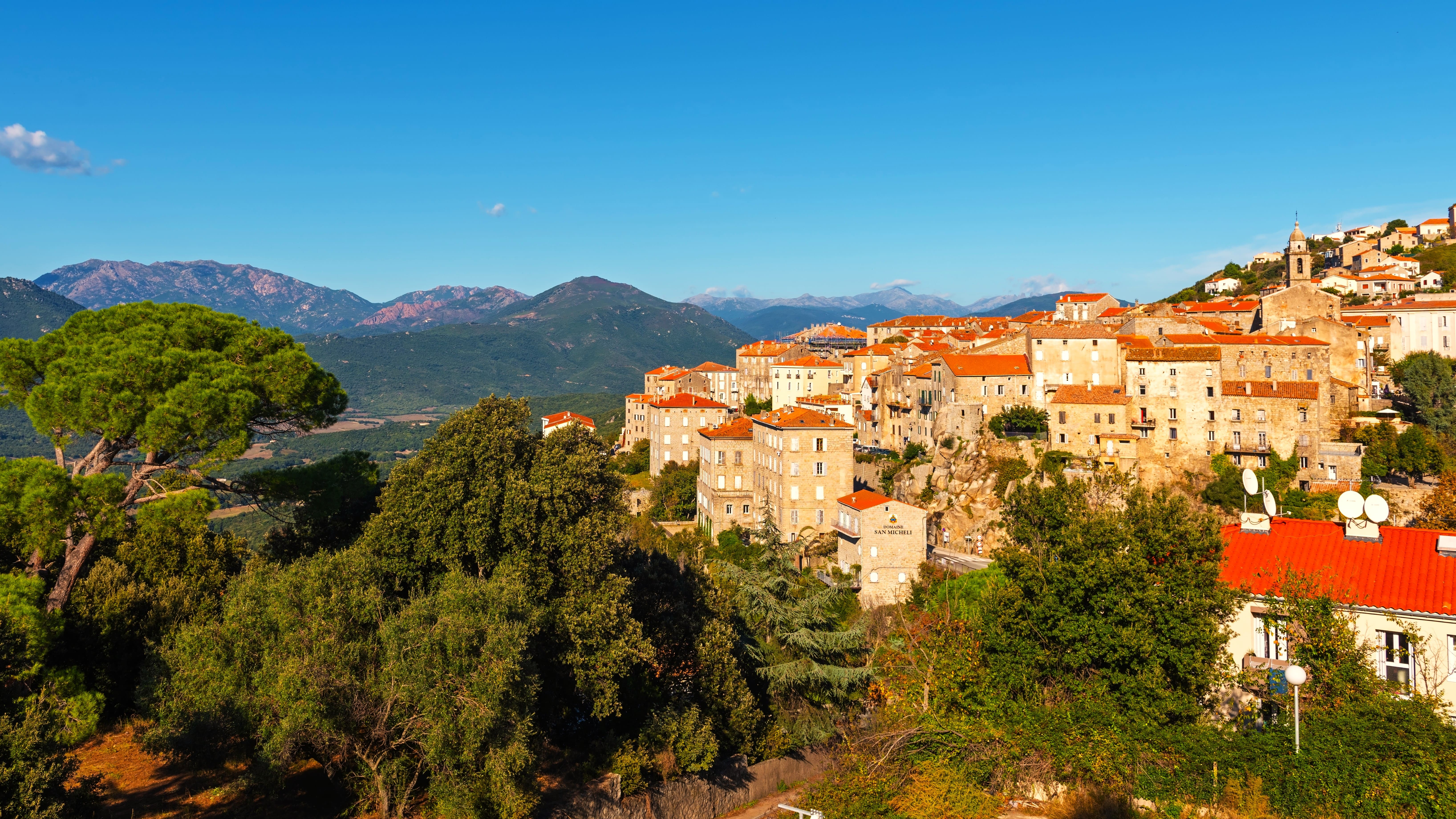
A classified village entirely built of timber and stone, with its characteristic painted sundials and Baroque church. Narrow alleyways and granaries on stilts ("chabrières") showcase the adaptation to high altitude and heavy snow.
Château-Queyras
A medieval fortress remodeled by Vauban in the 17th century, perched on a rocky spur above Château-Ville-Vieille. It commands the valley entrance and offers panoramic views over the Guil Gorges.
The Guil Gorges
Between Guillestre and Château-Ville-Vieille, the road hugs vertical cliff faces carved by the torrent. The passage is spectacular and grants access to the heart of the massif.
GR 58 — Tour of Queyras
A long-distance hiking trail that circles the entire massif in roughly ten days, passing mountain passes above 2,800 m, staffed mountain huts, and remote villages. It forms the backbone of on-foot exploration of the territory.
Starlit Skies and International Dark Sky Reserve
Queyras is recognized as a zone of exceptional nighttime darkness. Astronomy programs are organized in summer from several villages and mountain huts.
Photography Tips
Early morning light raking across Saint-Véran's timber facades reveals textures and warm larch tones. Alpine meadows reach peak bloom in July. For Château-Queyras, late afternoon light illuminates the fortress from the east. In autumn, larch needles turning golden (mid-October) transform the slopes into shades of amber — an uncrowded and highly photogenic season.
Location and Access
Queyras lies in the Hautes-Alpes department (05), east of Briançon (approximately 40 km) and northeast of Guillestre, the main gateway. The nearest railway station is Mont-Dauphin – Guillestre on the Briançon–Marseille line. From the station, seasonal shuttles serve certain villages in summer. By car, D902 is the main axis. Izoard Pass (D902 on the Briançon side) closes in winter.
Nearby Attractions
- Briançon — A Vauban-fortified town, UNESCO World Heritage-listed, about 40 km to the west.
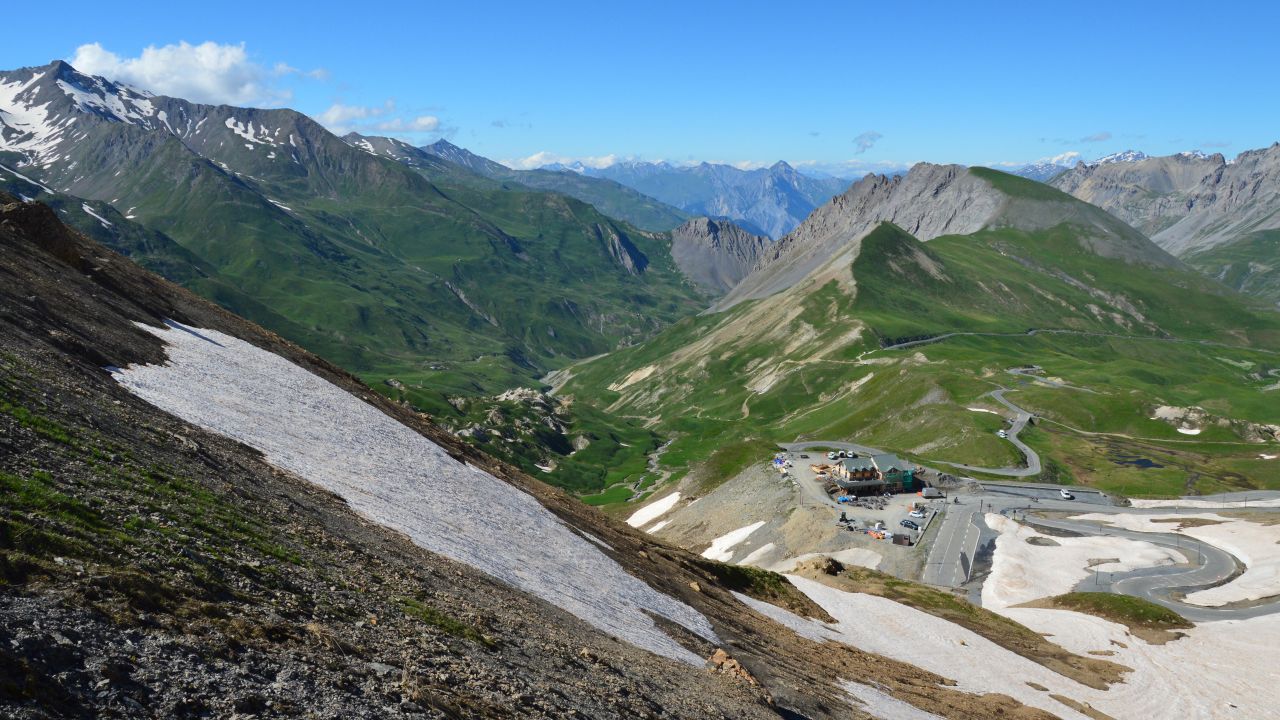
- Izoard Pass — A legendary Tour de France climb at 2,360 m, featuring the otherworldly landscape of Casse Déserte.
- Écrins National Park — A neighboring massif to the west, home to the highest peaks of the Southern Alps.
- Mont Viso — An iconic summit visible across Queyras, on the Italian side, source of the Po River.