Vercors High Plateaus
France's largest wild limestone plateau, the Vercors High Plateaus are accessible only on foot or by ski. Remarkable wildlife, memories of the 1944 maquis, and absolute silence guaranteed.
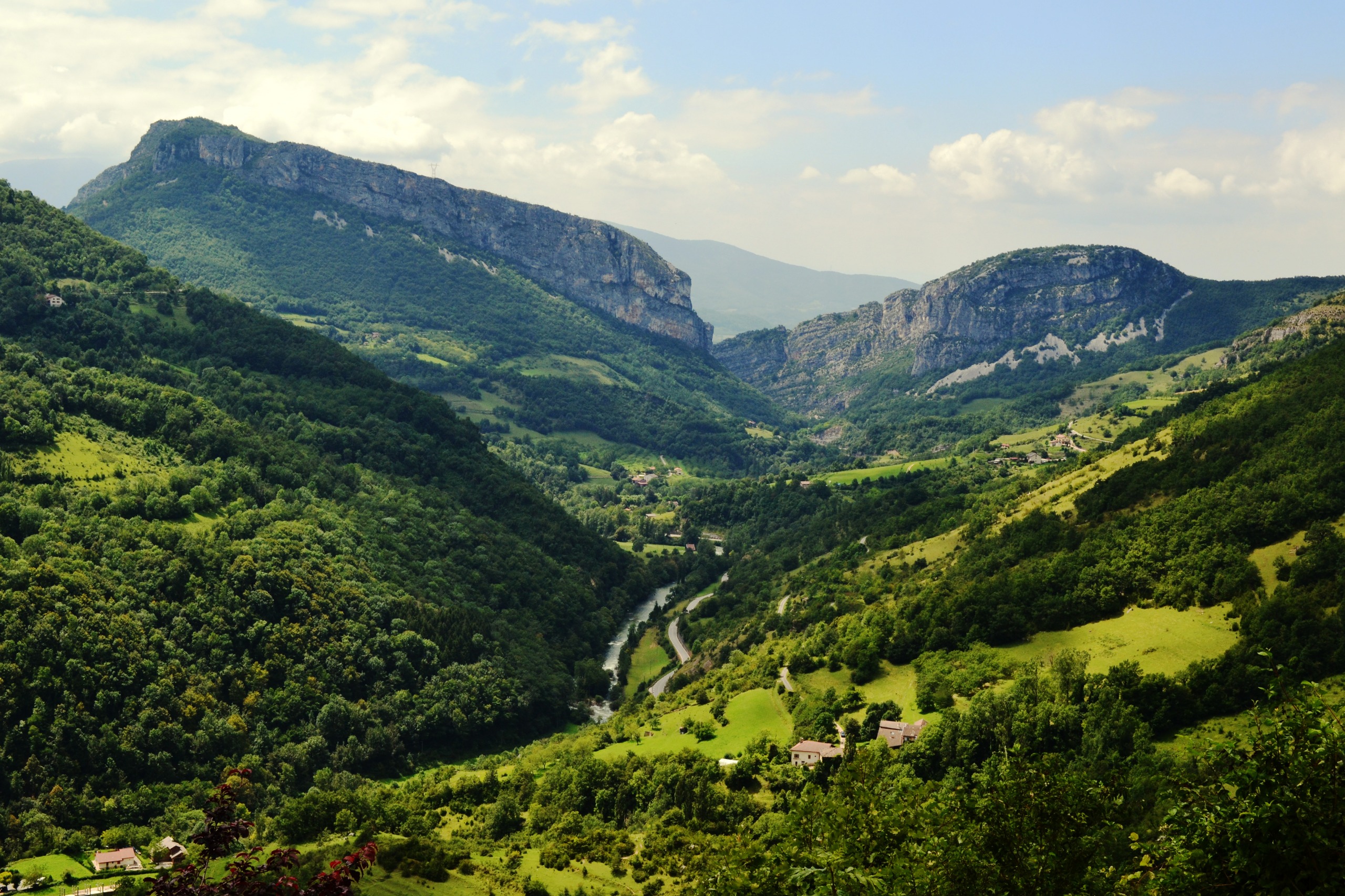
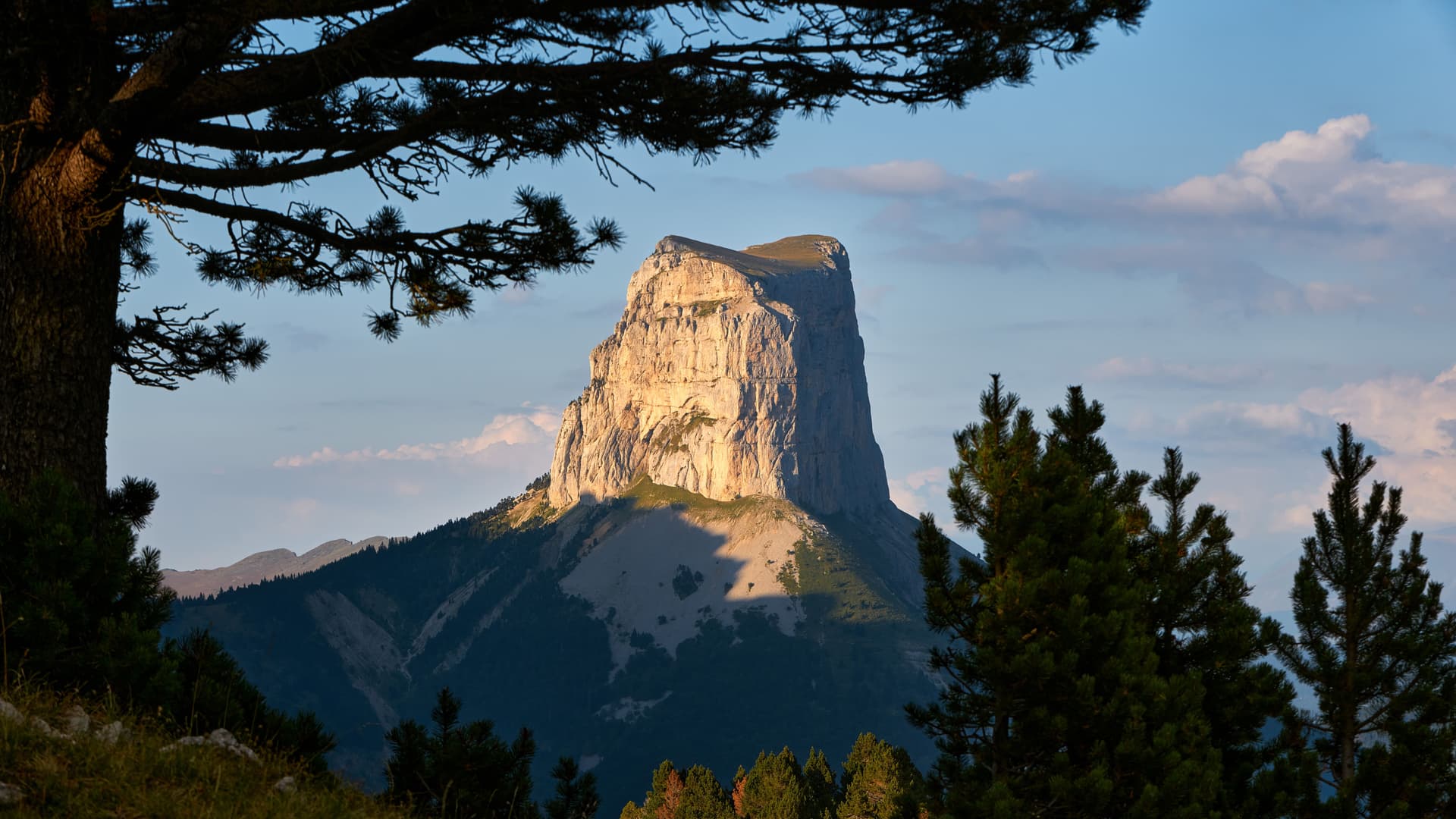
The Vercors High Plateaus form the largest wild limestone plateau in France, at the heart of the Vercors Regional Natural Park, between Drôme and Isère. Classified as a national nature reserve, they stretch across a vast expanse of moorland, beech forests, and cliff faces, virtually uninhabited. Here, there are no roads: access is only on foot or by cross-country ski. Wildlife — chamois, golden eagles, griffon vultures — is omnipresent. It is a territory of silence and altitude, in its own right.
Practical information at a glance
- Access: on foot only (hiking) or cross-country skiing in winter — no roads cross the plateau
- Admission: free (national nature reserve)
- Recommended duration: minimum a full day; bivouac or refuge for multi-day stays
- Gear: mountain equipment essential — hiking boots, warm clothing even in summer, sufficient water
- Rules: regulated bivouacking (designated zones only), fires forbidden, dogs prohibited in the reserve
- Accessibility: not accessible for people with mobility impairments
What to see
The plateau opens onto landscapes of sparse grassland, limestone karst formations, and dense forests. Dolines — depressions carved by karst erosion — dot the terrain. Grande Cabane and Pas de la Balme are classic landmarks. In summer, gentians and wild orchids carpet the clearings. In winter, the plateau transforms into an isolated Nordic ski domain, traversed by ski mountaineers.
History and context
During World War II, the Vercors High Plateaus served as a refuge and rear base for the Resistance in the region. The Vercors maquis (1944) conducted one of the most significant French interior resistance operations there, before being crushed by German forces in July 1944. This memory deeply marks the identity of the massif. The national nature reserve was established in 1985 to protect this exceptional space.
Highlights of your visit
Crossing the plateau via the GR 91
The GR 91 crosses the Vercors High Plateaus from north to south over several days. It links peripheral villages while passing through the refuges of Pré Peyret and Jasse du Play. This is the reference route for discovering landscape diversity: forests, open moorland, and cliffs overlooking valleys.
Wildlife observation
Griffon vultures, reintroduced to the Vercors since the 1990s, regularly soar above the cliff faces. Chamois and mouflon sheep are visible early in the morning on the ridges. Golden eagles nest in the massif. Discretion and patience are the only requirements.
Cross-country ski touring in winter
In winter, the snow-covered plateau becomes an exceptional terrain for cross-country skiing and ski mountaineering. Staffed refuges enable traverses with relative self-sufficiency. The absence of mechanical lifts guarantees complete silence.
Photography tips
The raking light of dawn and dusk reveals the relief of karst formations and the texture of moorland. Cliffs facing east, particularly around Pas de la Balme, offer sweeping views over valleys. For wildlife, a telephoto lens is essential — animals keep their distance. In winter, immaculate snow and silhouettes of frost-laden beeches create strikingly pure images.
Location and access
The Vercors High Plateaus are located in the Vercors massif, straddling Isère and Drôme. The main entry points are Villard-de-Lans and Lans-en-Vercors to the north, Die and Châtillon-en-Diois to the south. From Grenoble, Villard-de-Lans is accessible by car. No roads lead onto the plateau itself: hiking begins at parking areas for trailheads. Local guides offer accompaniment from villages throughout the Vercors.
Nearby attractions
- Choranche Caves — network of stalactites and underground river, accessible from the Bourne valley.
- Villard-de-Lans — main resort village of the Vercors, ideal starting point for hikes.
- Vercors Memorial — at Vassieux-en-Vercors, dedicated to the combatants of the 1944 maquis.
- Combe Laval — road carved into the cliff face, breathtaking views over the Lente forest.
Frequently asked questions
June to September for summer hiking, with stable conditions and active wildlife. January to March for cross-country ski touring, depending on snow cover. The plateau is not recommended during storms — open spaces provide little shelter.
Bivouacking is permitted in designated zones per national nature reserve regulations. Fires are strictly prohibited. Staffed refuges (Pré Peyret, Jasse du Play) offer an alternative with accommodation and meals in season.
A guide is not mandatory, but recommended for hikers with limited mountain experience. GR 91 marking is reliable, but the plateau is vast and weather can change rapidly. Mountain guides are available from Villard-de-Lans.
No. Dogs are prohibited in the Vercors High Plateaus national nature reserve to protect wildlife.
Staying in Villard-de-Lans allows you to explore the Choranche Caves, Combe Laval, and the Vassieux Memorial. Plan at least three days to combine plateau and valley sites.